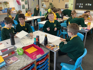
Using Ordnance Survey Maps
Today, the children were introduced to an Ordnance Survey Map. The began the lesson looking at the map to see what they could identify and take their time to have fun with a map. The children loved looking at these and finding places they recognised, including their homes and other places they have visited. From there, they were introduced to the key on the map and they different symbols. Part 1 of the lesson saw the children drawing symbols for different features. Finally, they recapped their 4 grid skills identifying the symbols in our local area.


Comments
Post a Comment